Thursday, December 31, 2015

Gibraltar Wall - WI4, 140m


I have been ice climbing (at various levels of intensity) for 22 years and I finally made it to Gibraltar Wall. I shouldn't have waited so long, it is a great spot to climb. 


G Wall from the road
Brad picked me up in Fairmont and we met up with Jordan, Nat, Farzed and Nikki at the route. Brad and I soloed the bottom 30 metres of easy WI3. Brad led the next pitch of WI4 and brought up Farzed and I. Then Brad did a great job on a long pitch of WI4 for about 60 metres with me finishing the top 3+ pitch of about 30 metres. Nat led a nice WI5 pillar on the lower section, then their threesome followed us up.


Brad at the first belay, we found bolts :-)
Four raps and we were heading home. Cool views and pretty good ice quality.  Great day out.
View to FSR and Kootenay River


Nat just above his nice WI5, 30 metre lead


Sunday, December 20, 2015

Autumn with bits of climbing


Pretty quiet Fall climbing season; attempted a few first ascent alpine rock routes, but cold weather, often with highs winds, snow and ice, kept us from getting up these new routes.


Snowy alpine rock


Did two short easy ice climbing days, not really worth mentioning, but did top rope most of a M7 mixed route.  Couldn't clear the roof on the route, but had a lot of fun.  

Monday, September 7, 2015

Wapiti Mountain - Scramble


August wasn’t a great climbing month for me. Two or three crag and alpine rock trips that didn’t amount to much because of weather or conditions, then my week allotted for big mountain trips had the wettest weather of the summer of 2015.  Just as the worst weather was hitting the mountains from the west coast to the eastern slopes, Raff and I picked the only dry spot in the Rockies; along the eastern slopes near Ya Ha Tinda Ranch. This historic Parks Canada ranch is along the eastern boundary of the park where the Red Deer River exits the park. 

We had a leisurely drive up on Monday and camped at the awful smelling Bighorn Campground.  Literally the whole campground reeks of horse piss and shit.  The campground is the staging area for many private and commercial horse trips into and around the national park.  Unless you like the smell of horse, it is recommended that you camp somewhere else. 


Heading out; Warden Rock on the left, Wapiti Mtn. with clouds on the right.

With the unstable weather, we didn’t know objective to pick, but we were happy to see the peaks along the park boundary didn’t have any fresh snow.  We chose Wapiti Mountain and had a few backups in case the weather didn’t hold.  Up at first light on Tuesday September 1, skies were clear and the wind was calm, but the time we had coffee and breakfast and got on our bikes, the wind was howling from the west and the summit of Wapiti was in clouds. We decided to continue and see what happened. 


The 12km bike approach, Wapiti above has cleared from the high winds.

You can bike the 12 km from the road to the Banff National Park boundary. Then it is about 6 km along the excellent Red Deer River trail (old road), then north about 3 km along the also excellent Tyrrell Creek trail.  We exited the Tyrrell Creek trail about 51.695743, -115.795427 to gain the broad South West slopes of the meandering South Ridge of Wapiti Mountain. The original plan was to follow the South Ridge all the way to the top, but once we crested the top of the ridge, it appeared to wind too much west and north, with a significant drop.


Our first view to the summit, dropped 250m to the gain scree slope to summit ridge.

Even though it meant dropping about 250 metres, we did a straight line from our point to the summit. Quick drop into the scree basin south of the summit, then up the broad scree ridge slightly west and north of the summit. Then a mindless 650 metres of scree slogging to the summit ridge. Easy scree walk to the summit of the 3033 metre summit of the rarely ascended Wapiti Mountain.


Old School WB on the 3033m summit of Wapiti Mtn.

The summit register was soaking wet and only contained Rick Collier’s party from 1991. The wind and wind chill was insane, but we endured the blast to enjoy this unusual view of the Rockies.  About 8 hours from the car, about 26 km and 1750 metres of gain from the car. We made great time on descent, but the re slog up 250 metres was draining, then we rushed to make the Tyrrell Creek trail before dark, then rushed more to make the Red Deer River trail before dark; just found our cairn on the main road at dark. Quick return to our bikes, then the fun bike back. All in all, 14 hours, about 52 km, and about 2000 metres of gain.  The next morning we woke to light rain, so we packed up and headed home.  Great remote summit, but a mindless slog. 


Only one party in the register. Rick Collier and party from 1991.


View on descent. Windy and very cold, but clearing to the west.

View back up scree slog to summit ridge. 


Monday, August 3, 2015

Opal Ridge Traverse – Alpine I, 5.4


Traversed the length of Opal Ridge from the North Summit to the South Summit, and yes I threw in a YDS grade of 5.4.  I solo traversed the ridge crest for the whole distance, and hit the top of each hit point. The ridge crest proper presents several short steps of 5.4. Most obvious is the rock step mentioned in the scrambler’s guidebook where Kane recommends dropping about 200m instead of tackling the short vertical rock section.  When travelling from north to south the best spot to ascend the wall is right on the ridge proper, there is a small col like spot on the ridge.

View to north summit block.

From this section follow a nice 5.4 broad open book face up to the top, about 30 metres of climbing with excellent holds on good rock.  Lots of great hand holds, but feet take some care, including several sections of feet only with smears, the super positive hands make these moves feel secure.  Several other sections included up and down climbs at the 5.4 level, including my descent from the northern high point, heading south from the summit; the ridge crest was super exposed, loose and quite blank for feet, some huge reaching down steps.


The biggest 5.4 step (the step Kane recommends dropping 200metres for, not sure why)

Had a lot of fun with perfect weather conditions. Left the car parked 1.0 km south of the Rocky Creek bridge, up the steep grass/small tree slope, hard to stay on the trail in this section. Once heading up the north ridge the trail is a highway all the way to first high point. After that trail comes and goes. I stayed on the ridge crest, hit all high points; which was much more time and energy consuming, all the way to the South Summit.  6 hours from the car to the South Summit, then back to the Fortress Junction gas station, where I had left my bike, then biked the highway back to my car.  All in, just over 8 hours car to car.  In my Opal 35 Project I include both summits in my list.  Great day out!


From south summit view to northern summit

Thursday, June 25, 2015

Gray Waves - 5.8, 140m (6 pitches)

Gray Waves, this is a route I wanted to climb about 20 years ago (boy I am getting old ;-). Back in the day, this route had no fixed pro, no bolts, but the occasional loose rusty pin. Before the big retro bolt of the Kid Goat crag, I was up the classic route Keehaul Wall (5.6, 155m) several times and would often look over to the steep, slabby, blank wall of Gray Waves and wonder how run out was it?

I basically stopped my focus on rock climbing in 1999, after getting very comfortable on tough 5.8/5.9 alpine trad leads. 1999 was the same year Kid Goat (and several other older crags) had major retro bolt updates. The first ascent of Gray Waves was by John Martin and L. Howard in 1980.  In 1998, Joe Josephson and K. Snyder slightly rerouted and retro bolted the first pitch, in 1999, M. Piche and S. Holeczi added bolts to the rest of the route.

My impression in the mid 1990’s was that this route was fun, clean (no loose holds/clean ledges), but seriously run out with very little chance for good protection, and no fixed stations. My focus, at the time, was on big mountain alpine trad rock routes and I never climbed Gray Waves, but did think of it often…
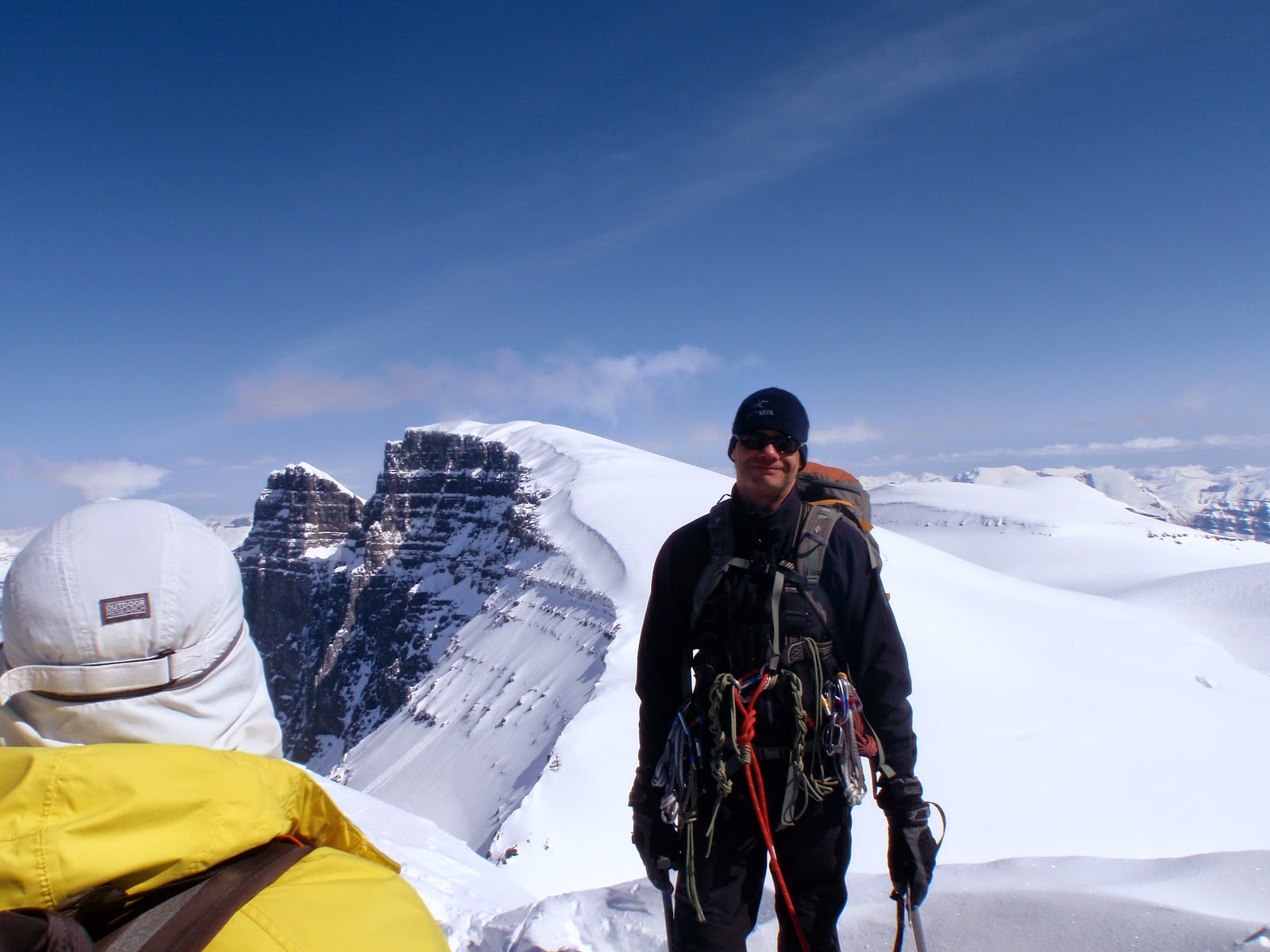
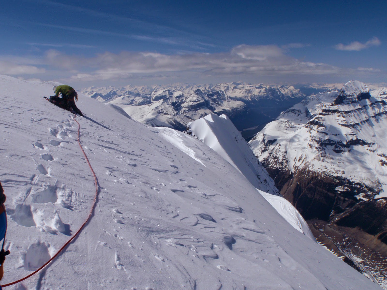
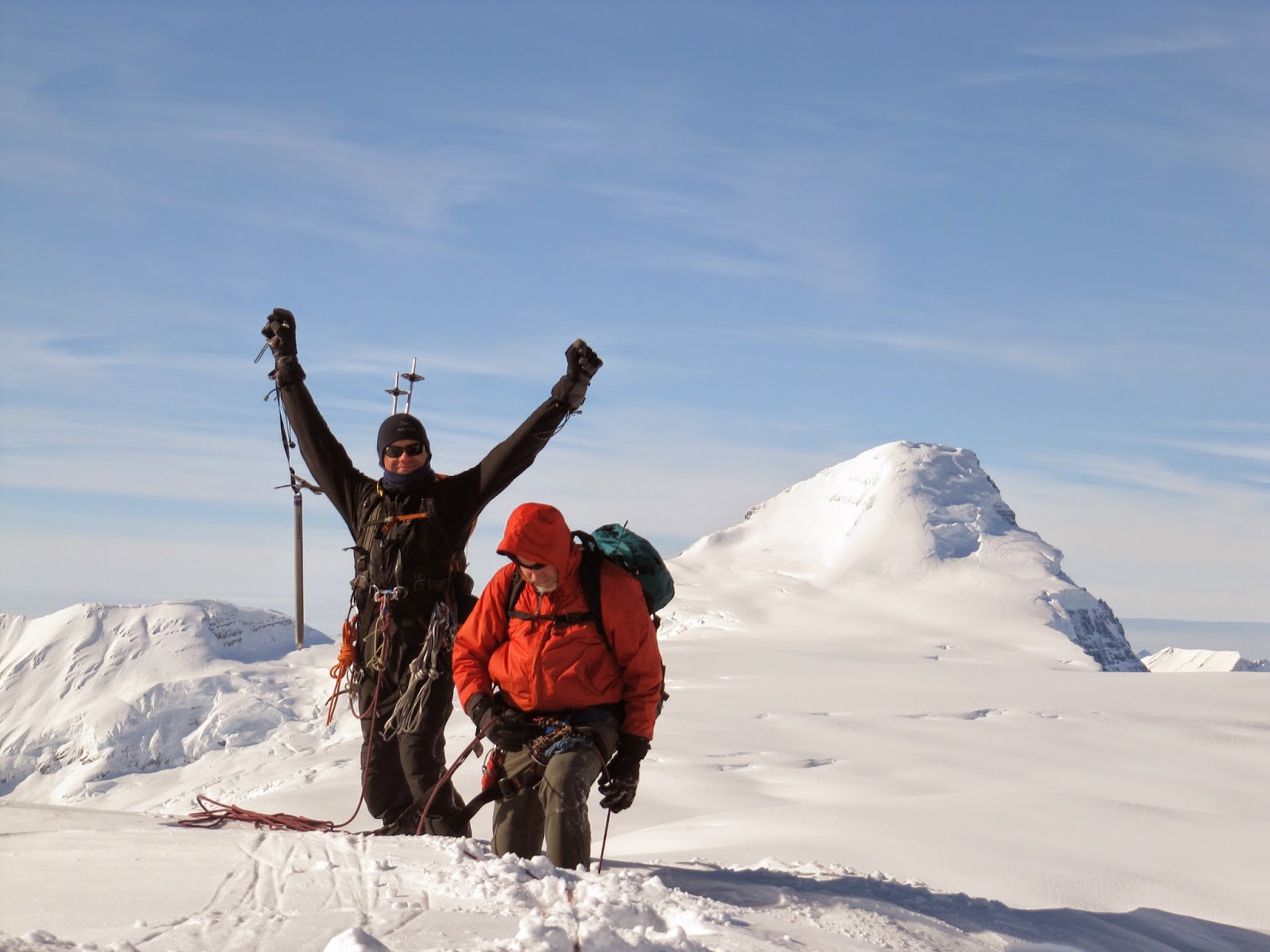
Laurie and I have been doing a ton of indoor climbing and trying our best to get outdoors a bunch this year. My wish list for us included Gray Waves, and on June 24, we had a blast on this classic route.


Laurie led pitch 1 (20m, 5.8), his pic looking down to me.
I led pitch 2 (30m, 5.8+?).
Just below crux of route.
LK with Yam
OSWB belaying

Best 5.5 slab traverse in the Rockies IMHO


Monday, June 15, 2015

Barrier Bluffs - Cadillac Jack 5.9, Squeeze Play 10d

Had big alpine snow, rock ridge, first ascent route plans, but the forecasted clearing on Sunday night did not happen. We left the car about 1am, hiked until 3am, and only more and more snow fell, so hiked back to the car. Slept about 5 hours, got coffee and slowly made our way to Barrier Bluffs.

I led up Cadillac Jack, 24m, 5.9.  Tough 5.9, but likely tough since all really significant foot and hand holds were totally polished; feet especially required careful work and weighting, grade felt way harder than 5.9 for sure.  Once up to the anchor, did a couple of top roped laps on Cadillac Jack and Squeeze Play. Squeeze Play was great as a TR would be huge challenge as a lead.

Fun afternoon after a night of hiking in the snow with big packs.

Monday, May 25, 2015

Mothers Day - 5.7, 335m (8 pitches)


Great day out with Laurie on a Bow Valley classic moderate climb, Mothers Day.  Friday May 22 was hot and sunny, and as we found out later, ticky.   The simple approach got a bit messed up for us, I am blaming the flood of 2013.  The standard description (Banff Rock by Chris Perry, tabvar.org) describe heading up the gravel washout for 100 metres, then go right. Well about 100 metres from the road there is a big green flagging on a tree, then a trail that heads perpendicular right into the bush; well this isn't the proper trail. A re-read of the descriptions states, "Follow the dry creek bed up for about 100 m and then cross over to a well-defined trail (cairn) on its right-hand (east) side."

Well there is no cairn, and the trail use to follow the right side of the creek/wash out, but  after heading straight up the drainage, in about another 200 metres, a trail parallels the creek, on the right bank, up to the base of the route; what a waste of time for us.


OSWB heading up 5.7 pitch

Good thing we solo'ed the first 5.4 pitch to make up time.  I led up the second alternate pitch, 5.7. I would agree with the grade and fairly sustained at 5.7, most of the moves require a bit of power and big, high steps, but otherwise pretty easy.  Lots of great opportunity of gear placement. I led the second 5.6 pitch. Three bolts on the length of the pitch, none shown on the topo; also looks like the bolted station was moved, just a few metres to the left of the location shown on the topo.  Interesting and fun face climbing mostly. Laurie led the next 5.4 pitch, his first real trad lead, so his gear placement took some time, got to watch a mountain goat across the big gully. Laurie did a great job of placing the rock pro.

Laurie on pitch four

I led the next two pitches, both at 5.5, but super fun. Lots of exposure made the leads more exciting; especially pitch five, the rising traverse is super exposed for a 5.5 route.   Lots of opportunities for gear placement, super clean route, very little rock litter on the lower pitches.

Laurie blasted up pitch seven, fun 5.4.  I enjoyed the last pitch a lot, rated at 5.5, but this pitch is the dirtiest and loosest; not usually fun, but being exposed and loose made this pitch more committing than the first two, IMHO. Clearing the roof near the top of the pitch is the crux in my opinion. Only a 5.5 to 5.6 move, but super exposed and requires full commitment to get over this section. Great fun.


Top of route

Beautiful spring day, view to Mt. Rundle

I enjoyed the walk off trail, cool to hike over Cascade Falls, have done the winter descent of the section between Rogan's Gully and Cascade Falls before, but was interesting to see all this terrain in the summer.  Very large trail up there. Great day out, had a blast on this classic moderate route.


Wednesday, May 20, 2015

Twins, Stutfields & Cromwell - Alpine II


Fantastic four days on the Columbia Icefield with young guns Steven S. and Ben N., and veteran climber Vern D. First day we skied up the Athabasca Glacier then about 25 km to a camp near Stutfield Peak.
Skiing up the "ramp" above the Athabasca Glacier

May 8 we skied up Stutfield Peak (3450m), Mt. Cromwell (3330) and “North-East Stutfield” (3390m).
 
View from Mt. Cromwell to Stutfield Peak (r) and North-East Stutfield (l)
 
May 9 skied/climbed the North Ridge of South Twin (3640m), then skied up the South Ridge of North Twin (3730m) and then descended the fabulous North Ridge and climbed up the spectacular South-East Ridge of Twins Tower (3627m).
 
Final North Ridge below summit on South Twin. View to Mt. Columbia in the distance

OSWB on summit of South Twin, behind North Twin and Twins Tower
 
On summit of North Twin. View down to Twins Tower
Descending North Twin to col.


Gorgeous! View to Twins Tower

View from near col up to North Twin summit ridge

At North Twin and Twins Tower col, Mt. Alberta to the right.

OSWB on the summit of Twins Tower. View to the North Ridge of North Twin

Nice and easy ski out via Athabasca Glacier on May 10. Great peak bagging trip; 2 days of climbing and 2 days of skiing!
 
Heading home with great views

Poor snow conditions on descent of ramp above Athabasca Glacier
(frozen, churned up curd, grabby on twins and tails)


Monday, April 27, 2015

GR356417 “Old Baldy Mountain” - Scramble


April 19, 2015; this turned out to be a great Plan B peak.  Eric and I intended to ascend GR 302516 “Skogan Peak”, but after I attempted to wade the Kananaskis River twice, both times to above my waist line and still not at the deepest point of the crossing, we bailed.  “Old Baldy Mountain” was close by and a peak I have been interested in for years. 

View to "Skogan Peak" from ascent ridge

We couldn’t find the short approach described in Nugara’s book in the maze of trails and roads in the Boundary Ranch area and ended ascending Old Baldy ridge further south and suffering in quite a bit of bushbashing and deep postholing.  Once we finally gain Old Baldy Ridge, the snow conditions improved greatly. 

Proper ascent/descend gully far left (open few trees)
we ascended way right, up big snow patch.

The flat, plateau like, top of Old Baldy Ridge provided quick hiking to the base of the West Ridge of “Old Baldy Mountain”.  The ridge turned out to be a snow climb, lots of fun with really nice snow conditions.  About one third of the way of the West Ridge there is a cool big slab, deserves a bolted rock route in my opinion.  Fun snow climb mostly straight up the ridge to the summit, many cool cornice features along the many summit ridges and high points.

Cool big slab on lower West Ridge

Our descend was about one quarter of our ascent time and once we found the described shorter approach/return slope, we blasted back to the car.  Great to see Eric and a very fun and enjoyable 11 hours ish day.

Nearing summit
OSWB on summit

Friday, March 27, 2015

Poor snow, great rock | Wasootch, 5.8 - 5.10c


After a few tours for turns turned bad in March, I gave up on snow and went for rock.  On March 27 it was 21 degrees in the Bow Valley and Kananaskis Valley. With the chance of afternoon winds, Anton and I went for a day of cragging at Wasootch, great pick since the sun hit B Slab around 10:30 and it was hot in the sun by noon.

I was stoked, led three routes and top roped one. Started with a cold rock lead on “Orange Arete” bolted 5.8, then led “Cracked Slab” bolted/trad 5.9, then after Anton’s great lead, top roped “Silver Bullet” bolted 5.10c.  Finished with a lead up “The Funnel” bolted/trad 5.8.  


Anton's turn on "Cracked Slab - 5.9"

"Silver Bullet" 5.10c follows right ramp, then left below roof.


Great to be on rock so nice and early in the season.

Monday, March 2, 2015

Mount Castleguard - North Ridge/NE Slopes, Alpine I


Sunday February 22, I summited the beautiful Mt. Castleguard with Ian H. and Henry D. I had always wanted to ascend Mt. Castleguard as a long trip day, but this trip turned out to be a great "plan B". Originally we had plans of skiing up the Athabasca Glacier, onto the Columbia Icefield and to ski up Stutfield Peak, west and east; but the forecasted morning clearing was slow to materialize on Saturday, so we changed plans. No regrets. Had an awesome trip. Simple ski up the Saskatchewan Glacier to camp on the edge of the Columbia Icefield.


Sunday woke to blue bird skies, with lots of cold wind, overnight temperature was about -25, but the day heated up quickly with the sun. Easy ski up the broad North Ridge towards the summit block with minimal trail breaking, about mid boot depth. We headed into a small bowl North-East of the summit block and ascended a steep, short snow slope to the summit ridge, this was closer to the summit than the regular ski ascent line. We thought this gully provided safer snow stability and a much safer runout then the standard ski line.


Skiing into NE bowl, we ascended the snow just left of the rock
on the far left.


Fantastic summit views to a few 12,000’ers and a bunch of 11,000’ers.  Enjoyed the summit, then we had a great ski back to camp, upper half was on awesome powder snow, nice treat on a high elevation icefield. Quick coffee at camp, then the long ski out. Had a fabulous time with these two veteran backcountry ski guys.

Kevin and Henry on the summit of Mt. Castleguard,
Mt. Columbia behind.