Tuesday, May 29, 2018

Le Soulier (The Shoe) - 5.7, 100 m (4 pitches)


"Le Soulier"
Awesome half day of multi pitch sport climbing. Had hoped for a full day of solid alpine sport rock, but family obligations required me to be back in town by mid afternoon.  We have had “Le Soulier” on our radar for a few seasons and with the short approach, it seemed like a good choice. Cannot beat this climb for ease of approach, a causal ten minute walk, and about a ten minutes causal walk back to the car at the end, awesome.

Base of route, ten minutes from car. LK did it in loafers. 
The route is an old trad route that was retrobolted.  The route has sections of great gear placement opportunities, but long runout sections, I can see why it wasn’t popular as a modern trad route.  The climbing is super solid 5.7, probably a modern grade of 5.8 to soft 5.9. 

Looking up the route. The first pitch is like a low 5 class scramble until the end.
3 or 4 solid 5.6 moves to gain the first anchor station, right at the base of the lone coniferous tree.
View to Mt. Rundle and the Rundlehorn route.
The first pitch is mostly a 5 class scramble until the final 3 or 4 moves, solid 5.6. The three remaining pitches are awesome 5.7, totally fun. And a great variety of holds types and techniques required to climb; great incut hand holds, sidepulls, thin slabby crimps and lots of smearing of feet.  Overall the rock is great quality, with only a wee bit of greasy worn sections, mostly poor feet at crux sections, always spicy. The rock got its name by a rock shoe left tied off on a piton on the crux section of the final pitch, this old rock shoe has been replaced by a pair of black high heels. High recommended route with great views to the Banff Springs Hotel and the Bow Valley.


View up second pitch from station, first real pitch. Solid 5.7 (modern 5.8?)
below the right slanting roof, topo did indicate straight up off of station, both choice have bolts?
Face climb straight up from anchor, line below roof is mostly left hand in great crank, both appear
to be solid 5.7.
LK ready to launch up P2. He did a great job, was thin feet and greasy where you want the most feet.
The crux of pitch 2.

P2 getting easier.
IMHO the crux of the route. Looking down on pitch 3.  About 10 metres up pitch 3,
a steep face to a super fun, and a bit greasy, bulgey, slight overhang section up through a
great notch.  Super fun, solid 5.7 (modern 5.8?). 
From station atop of pitch 3, LK nearing the station.

From anchor, looking up pitch 4 to the shoe(s).

LK leading the crux of P4, just above the shoe(s).

Le Soulier (The Shoe)
View down from the top of the route to the shoe.
Mt. Rundle again.

From top of route, view to the "Springs" hotel.


Thursday, May 24, 2018

GR379494 "Midnight Peak" and traverse to GR385487 "Midday Peak" - Solo Scramble

Great spring training day out.  Two summits in just over 5 hours, not bad for an old guy on a solo, near birthday, trip.  Great weather and the need for some time on my feet took me to these two fun little peaks at the north end of the Kananaskis Valley. Midnight Peak (GR379494) and Midday Peak (GR385487) are in between the busy and popular Mt. Baldy scramble/traverse and the peaks at the end of the long McDougall Ridge; “Wasootch Peak” and “Kananasksi Peak”. Midnight and Midday Peaks are in dry front range, making them great for shoulder season ascents, and have a short approach on a great trail.

From summit of "Midday Peak" looking north-west to summit of "Midnight Peak".

Parked as the Baldy Pass trail, quick pace up the trail quickly leads to Baldy Pass, about 50 minutes with a quickish pace. I had limited time, so I took the easy and fastest approach, Baldy Pass trail to the pass was the quickest option. From the pass I took the scrambler’s trail towards the summit of Midnight Peak, but in the trees above the pass, there was a fair amount of snow and ice still.  After a few pockets of deep snow and post holing, arrived at tree line and was mostly able to stay out of the snow.


Mt. Lorrette on the approach trail.
West Ridge of Midnight Peak from Baldy Pass trail approach.


Patches of deep snow and ice in the tree above Baldy Pass.

End of snow at tree line, scree slopes to summit ridge.

View back to Baldy Pass from tree line snow. 

Near summit snow patch, view down to Baldy Pass.

After a quick diversion up and then out of a deep snow patch below the summit, I changed course to get out of the deep snow and gained the north west ridge below the summit, then hiked to the top.  Slowed a bit by deep snow, easily arrived at the summit in 2 hours. Big summit cairn, but no summit register.


Snow patch below summit, I followed an old track into the snow patch; bad call.
Turned to a post hole wallow, retreated to scree slope and headed more west to get out of the snow.

Once past snow patch, gained the easy west ridge, simple hike to the top.

Summit selfie on summit of "Midnight Peak"

View from summit of "Midnight Peak" to col and beyond to "Midday Peak".
Enjoyed the pleasant view, then headed straight down the ridge to the col between the peaks. Up the north west ridge direct from the col towards the summit of Midday Peak, could be called moderate scrambling? A wee bit of exposure on the ridge, but I used my ski poles the whole way, no hands on rock. The walk over to Midday Peak was quick, and reached my second summit in about 20 minutes from Midnight Peak.  There was a new register on the summit, but it was a poor choice for the container. A small mouth soft plastic water bottle.  The narrow mouth is really hard to get the writing pad in and out of the bottle, and the soft plastic will eventually get eaten by rodents.  Enjoyed the view and scoped out the nice looking line from Midday Peak to Tiara Peak, looks like a fine ridge walk.  Quick plod back to Midnight Peak.

From col, view back to Midnight Peak. 

From col, view to Midday Peak.

A snowy looking Mt. Bogart.

Summit selfie on "Midday Peak".

Summit of Midday, view back to Midnight.

View back to Midnight and Mt. Baldy.


Super poor choice for a summit register. 

Hike back to col, view down to col. 

View back up to Midday Peak 

Another view up, closer to the col, to Midday Peak. 
On descent, I took a short cut, based on web trip reports, many parties take a variety of lines up and down Midnight Peak, lots of easy/moderate options from the approach trail.  I spied a trail in the scree in the drainage just west of pass trail. Using the same slope below the summit as on the ascent, headed slightly west into the drainage was able to avoid the icy and snowy tree trail above the pass. Fun, easy day out, 5 hours car to car. 

Midnight and Midday Peaks with nearby summits.
My route up shown by red line, descent in blue and approach trail in orange.

From just below summit, view to Baldy Pass, thin line of no trees near centre of photo,
and view down to the drainage I descended. 

View to drainage further west of the one I took. This drainage is visible from the approach trail.
I think there are a few steeps steps with this line, in order to be quick, I took the other drainage.

Sub ridge dividing the drainages.

Nearing the scree trail in my descent drainage. 

View up the drainage I did not descend. I am sure it would work as a route for ascent and descent.


Tuesday, May 8, 2018

Wheat Kings - 5.7, 225m (7 pitches)


Wheat Kings is a newish bolted multi-pitch rock route, goes at a cruisey 5.7, with most of the climbing being about 5.5.  Route was equipped and first ascended by the local guide and climber, Brandon Pullan, and Gaby James in July of 2016.  Brandon wanted to honour and pay respect to the great Canadian rock’n’roll band, The Tragically Hip, lead singer, Gordon Downie. I totally understand why. 

The Tragically Hip, and the voice of Gord Downie, have been part of my enjoyment of music for all my adult life.  I have listened to “The Hip” for over 30 years. Poor Gord pasted away October 2017 from brain cancer. I was fortunate enough to see their final farewell tour in the summer of 2016.  Thanks Brandon, great memories listening to the Hip and love the song, The Wheat Kings, and a great route. Approach details and a pitch by pitch description is available here.

View up to route from our walk out.

Laurie joined me on May 4 for this short day out, a great pick for the first multi pitch of the year.  After our long winter, the end of April and beginning of May have had great hot and sunny weather.  We had no problem finding the start of the route, on the approach, turn up hill (right) at the big and fractured boulder that sits on the edge of the trail (picture below).  

Head up to base of route at this boulder beside the approach trail, about 30 minutes from the parking area.

The grades described are appropriate for a modern grade.  The bolts are a bit spaced apart, but not much, any 5.7/5.8 climber will feel totally comfortable on this route.  We didn’t link or combine any pitches as it seemed like there would be a lot of rope drag if we did.  I lead the crux 5.7 pitch and it was a blast, great solid, very grippy rock, bolts were basically at a sport climb separation, just fun and cruisey, best part of the route. We had cloudy day that threatened 
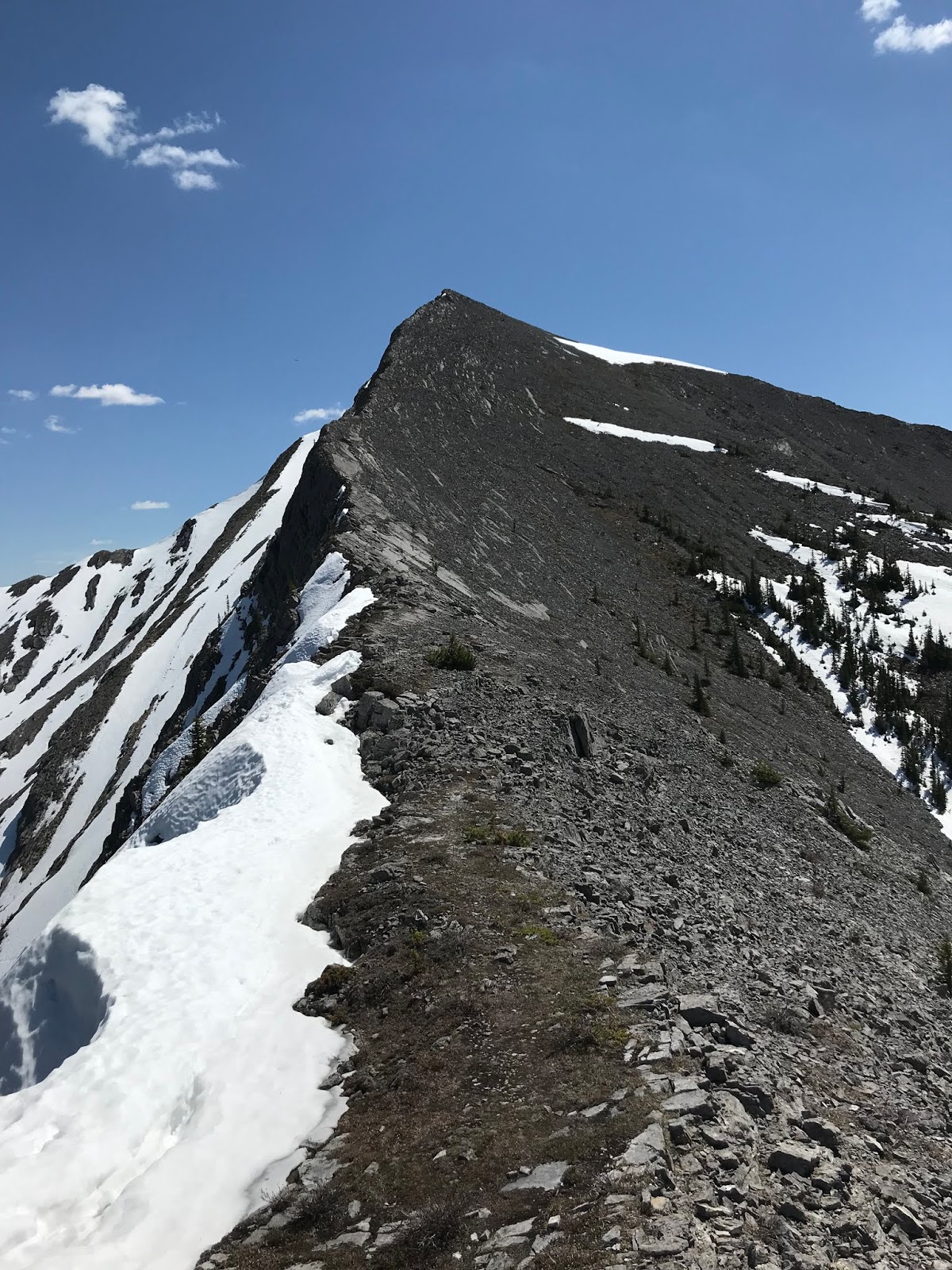
rain, but it stayed mostly dry. We opted for the walk off, but I think the rappel down would be equal time. Walk off was fine, a bit of loose sloggy uphill to exit the top of the route up a gully, but then steep down through light trees back to the approach trail and parking lot. Great fun and no ticks for us.  Below is the text for the route details from the Gripped website. Do this route, it is fun.

At base of route, looking up start of pitch 1.

Pitch One: Climb up and left past two bolts and follow a foot rail up and right past a third bolt. Climb the corner to a bolted belay at a tree. (5.5 30 metres, four bolts)

Pitch Two: Climb good rock left of the corner past two bolts and up and left avoiding dirty rock on the right. Angle up and right to a fourth bolt. Follow a crack up and right to a break in the rock and left to a ledge with a tree and belay. (5.6 35 metres, seven bolts)

Pitch Three: Step up and left and then follow fun features to a ledge. Take a faint crack right up to a belay. (5.7 35 metres, eight bolts) Note: There is an endangered whitebark pine far left of the second bolt, don’t damage or remove.

Pitch Four: Step up and left to a bolt. Continue up to a ledge and head left to a belay. (5.4 20 metres, two bolts)

Pitch Five: Up two short walls past two bolts to a ledge. Up and right to a corner that you climb for a few moves and then step left onto pillar. Up pillar to a bolt and then right on low-angle rib to belay. This is the Pretty Things belay ledge where you can see Mount Louis and most of the Bow Valley. (5.6 40 metres, five bolts)
Pitch Six: Up a steep move to a ledge and up the corner above past a hard-to-see bolt. Continue up easy ground to a belay near a tree. (5.6 30 metres, four bolts)
Pitch Seven: Up the rib past bolts to a break in the rock on the left. Up easy climbing to the final anchor. (5.5 35 metres, five bolts)
Descent: Rappel route with 70-metre rope using a rappel-only anchor between the top of pitch five and three. Alternatively walk off a flagged trail by heading up about 100 metres after the route and then left over small rock steps until you take the forest down.
View from station to start of pitch 3, the 5.7 pitch.
View down crux 5.7 section.
From bolted station looking up start of pitch 5.

LK nearing top of pitch 5.
Looking up start of pitch 6.
LK on top of route.

OSWB getting hungry, yeah we are on top.

Typical terrain on walk off through trees.
Old relic barbed wired fence we had to climb over on the walk back to approach trail.