|
View up The Water Hole.
Fun thin left side and the main right side flow. |
Just east of
Canmore, about 15 km east, the Trans Canada Highway takes a big curve between
Lac Des Arcs and Mt. McGillivary. On the
outlier of Mt. McGillivary is long wall with some older rock routes
(McGillivary Slabs), a couple of new rock routes and a couple of cool moderate
ice climbs; “The Water Hole” and “Irish Mist”. These ice routes were first
climbed way back in the 1970’s, and, interesting to me; during my peak of ice
climbing (1995 to 2000), these routes were rare to form, often not really
forming in some seasons. But lately, since maybe 2010, they both seem to form
up every season? Both routes are WI3,
and back in the 1990’s, didn’t seem to be worth my time, so I have never
climbed them. Not being a tough ice
climber anymore, it was time to give them a visit.
 |
Old School at the base of The Water Hole.
(Photo by Laurie) |
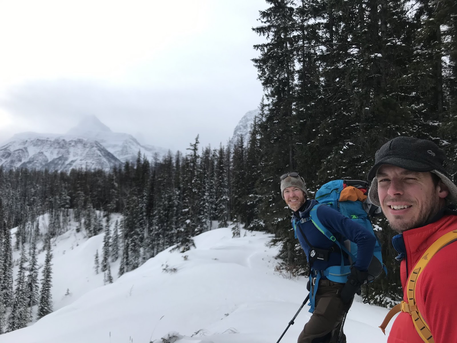
Laurie and I headed
to these fine little routes on January 24 for his second ever time ice climbing.
Warm day, high near +6 or so, but both these routes are in the shade all day. We
parked on the westbound side of the Trans Canada and there was one car parked
with “Water Hole” and “Irish Mist” written in grime on the back trunk, I
thought, two routes, no problem. We easily crossed the highway and followed the
very ice packed trail to the base of Irish Mist.
The other party was
a group of two, a guide (Jay Mills) and his client from Mexico, they had setup
a top rope on the bottom half of Irish Mist, and then planned to do some
rock/mixed climbing near the top of the route; Jay indicated that they would be
awhile, but The Water Hole was clear. I was glad this group was only two, we
happily headed to the other route.
 |
| Laurie at the base of The Water Hole. |
The Water Hole was
cool, two separate lines and about 50 metres high. I led the right side first,
casual WI3, or even WI2+, fun climb with good ice quality, topped out and found
a bolted station far to climbers right. Brought up Laurie and we did a double
rope rappel back to the base of the route. Next, I led the left side line,
super fun, more challenging, definitely a solid WI3, good fun. Near the top
out, there a tree to the left will lots of new cord. A little awkward to reach
the tree, but nothing too bad.
 |
OSWB leading up the right side of The Water Hole.
(My left line is visible on the left) |
 |
| Higher up on The Water Hole. |
 |
| LK nearing the belay on the top of right side of The Water Hole. |
Brought up Laurie, then rap back to the
base. We pack up and were wondering
about ours on Irish Mist, when Jay and client started up the hill towards,
perfect time.
 |
| LK rapping off the right side top bolted station. |
 |
| LK rapping off the tree on the left side. |
 |
OSWB rapping on the left side of The Water Hole.
(photo by Laurie) |
Short hike back to
Irish Mist and we set up for the climb.
A couple of small pillars formed off some fairly tall overhangs, but
these short pillars were so picked and stepped out, they were a ladder. Fun easy WI3, or even WI2+, to a bolted
station, a full 55 metres. Brought up Laurie, then rap back to the base. Good
fun.